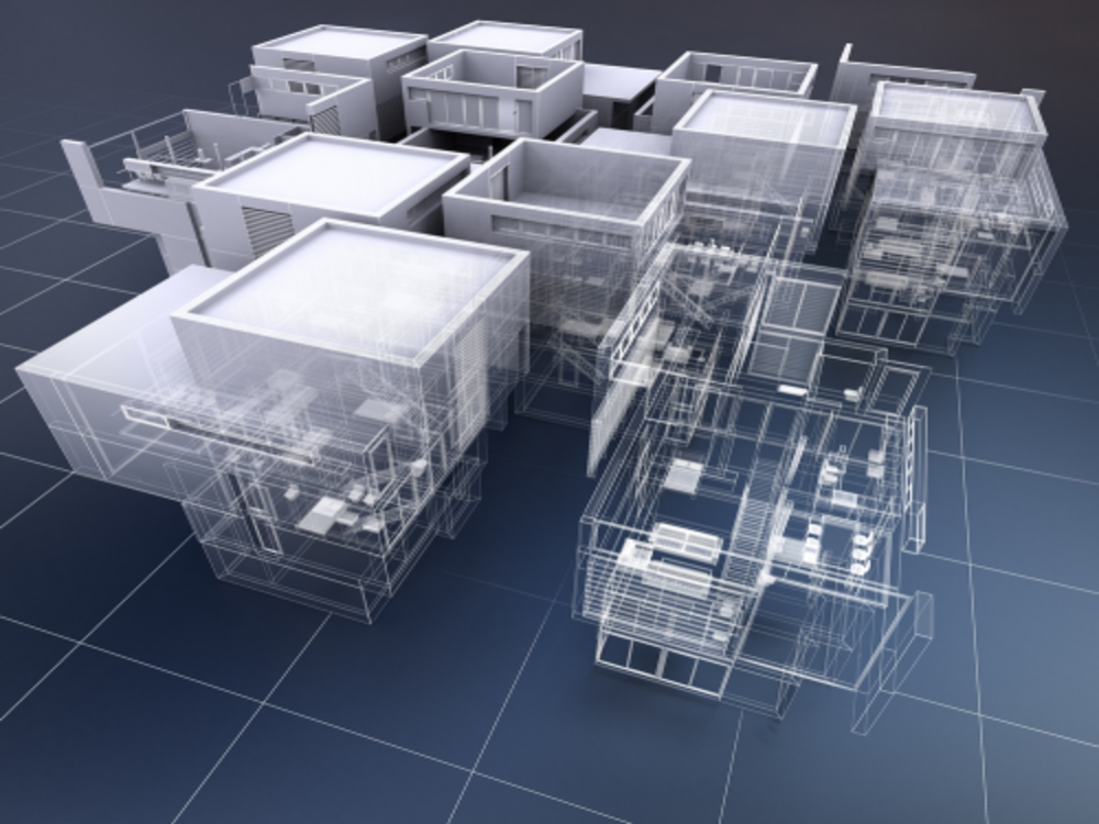
LiDAR/Drone Technology
LiDAR (Light Detection and Ranging) and drone technology are revolutionizing Building Information Modeling (BIM) by providing advanced data capture methods that enhance the accuracy, efficiency, and scope of construction projects.
LiDAR Technology
- Advanced Scanning Capabilities: Modern LiDAR scanning systems capture highly detailed 3D point cloud data with improved accuracy and precision.
- Compact and Portable Systems: LiDAR scanners are increasingly portable for easier deployment in indoor and outdoor environments.
- Higher Data Acquisition Rates: Faster scanning of large areas improves overall capture efficiency and reduces site time.
- Multi-Sensor Integration: LiDAR combined with cameras and IMUs enables richer datasets, including color/texture alignment and improved positioning.
- Real-Time Data Processing: New processing workflows enable faster feedback and visualization during capture operations.

Drone Technology
- Improved Flight Stability and Control: Enhanced stabilization and maneuverability enable smoother and more precise aerial data capture.
- Longer Flight Times: Better batteries and design allow coverage of larger areas per flight session.
- Higher Resolution Cameras: Detailed aerial imagery complements LiDAR data and improves survey and mapping outcomes.
- Obstacle Avoidance Systems: Sensors and collision-avoidance algorithms enhance safety in complex environments.
- Integration with LiDAR Sensors: Drone-mounted LiDAR supports terrain mapping, topographic surveys, and 3D modeling of landscapes and structures.